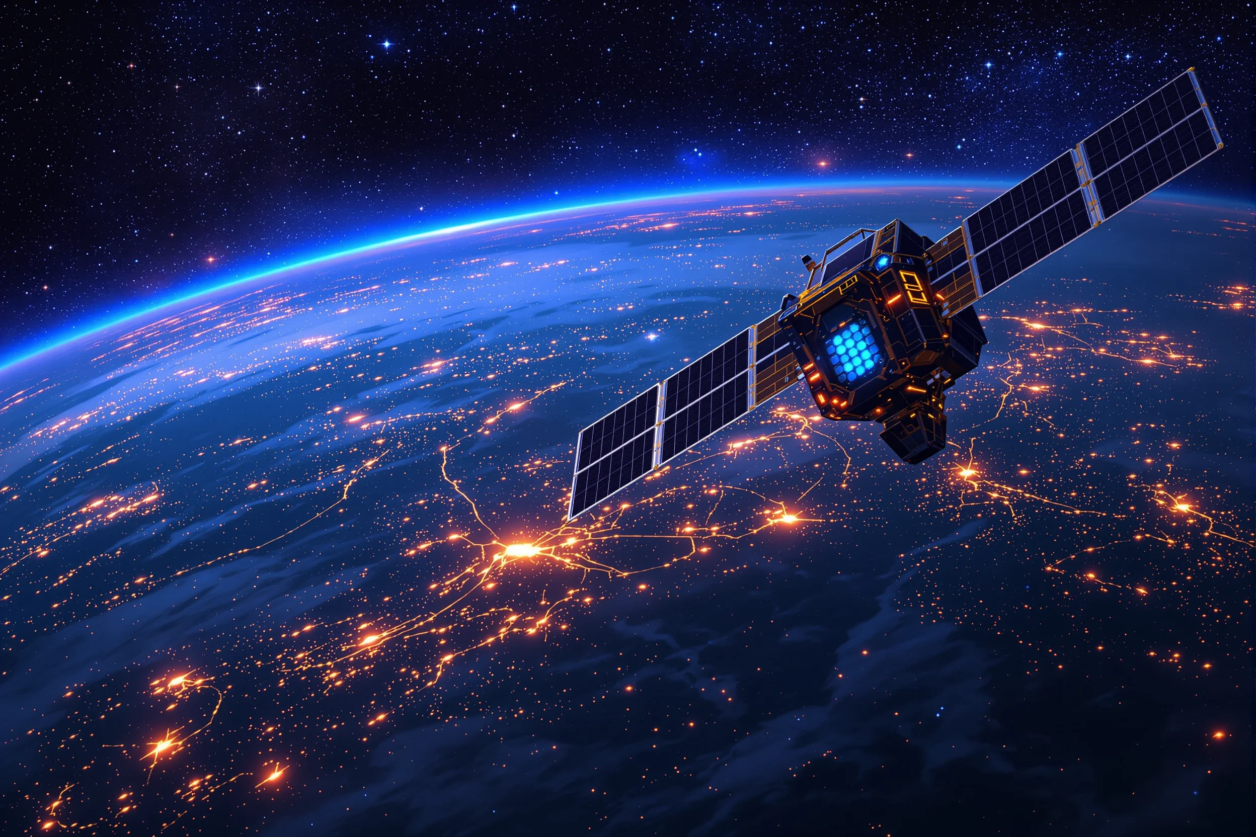
AI Tools Reshaping Satellite Intelligence: NASA’s Transformative Approach
I’m always fascinated by how AI tools are transforming space technology. Recently, NASA’s initiatives have caught my attention, especially how they’re using artificial intelligence to make satellites smarter and more autonomous.
If you’ve ever wondered how we can improve satellite reliability or speed up environmental monitoring, you’re not alone. These questions drive NASA’s current AI innovations.
What Are Smart Satellites and How Do AI Tools Make Them Possible?
Smart satellites are spacecraft equipped with onboard AI that can:
- Process data independently
- Make real-time decisions
- Detect and resolve faults without human intervention
- Identify environmental anomalies quickly
NASA is testing these AI capabilities on Earth-observing satellites, which could dramatically change how we respond to natural disasters and monitor climate change.
The standout achievement in this space is Prithvi, an open-source geospatial AI model developed through NASA’s collaboration with IBM. It’s trained on Landsat and Sentinel-2 satellite data and transforms massive datasets into useful insights.
How Can AI-Enhanced Satellites Improve Disaster Response?
When disasters strike, every minute counts. Traditional satellites transmit raw data that humans must process before action can be taken. This creates dangerous delays.
With onboard AI tools, satellites can:
- Automatically detect signs of wildfires, floods, or earthquakes
- Prioritise critical data transmission
- Alert emergency services directly
- Track disaster evolution in real-time
I recently spoke with a disaster response coordinator who described how this technology could have saved hours during a recent wildfire response. “The satellite detected the fire before any human reports came in, but the data sat unprocessed for 40 minutes,” she explained.
This kind of communication enhancement reminds me of how businesses use ClickSend to automate critical messaging. Their platform uses AI tools to ensure timely communication during important events – much like what NASA’s trying to achieve with satellite communications but for business applications.
Can AI Tools Predict Climate Patterns Through Satellite Data?
The short answer is yes, with increasing accuracy.
NASA’s AI models can now:
- Analyse historical satellite imagery to identify climate trends
- Detect subtle environmental changes human analysts might miss
- Create more accurate forecasting models
- Predict extreme weather events earlier
For farmers and agricultural businesses, this means getting advance warning of droughts or floods, allowing for better crop planning and resource management.
By integrating advanced AI tools with decades of NASA climate data, we’re gaining unprecedented insights into Earth’s changing systems.
What’s NASA’s Prithvi AI Model and Why Does It Matter?
Prithvi stands out among geospatial AI tools because it’s both powerful and accessible. As an open-source foundation model, it allows researchers, businesses, and governments to build upon NASA’s work.
The model excels at:
- Land use classification
- Change detection over time
- Environmental monitoring
- Agricultural yield prediction
What makes Prithvi particularly valuable is that it democratises access to advanced satellite analysis. Small research teams and businesses that couldn’t afford to develop their own AI models can now leverage NASA’s technology.
This open approach to innovation mirrors what we see in other sectors where cutting-edge AI tools are being made available to wider audiences.
How Do AI-Powered Satellites Handle Technical Failures?
One of the most practical applications of AI in satellites is autonomous fault detection and recovery. Satellites are expensive to build and launch, so extending their operational life is crucial.
Modern AI systems can:
- Monitor thousands of sensor readings simultaneously
- Detect anomalies before they become critical failures
- Automatically adjust operations to compensate for issues
- Predict maintenance needs before components fail
Think of it as having an expert engineer onboard the satellite at all times, but without the need for oxygen or food!
These systems use machine learning algorithms similar to those that power predictive maintenance in Earth-bound industries, just adapted for the unique challenges of space.
What Challenges Do AI-Enhanced Satellites Still Face?
Despite the promise, several hurdles remain:
- Data quality issues can lead to false positives or missed detections
- The need for ongoing validation of AI-generated insights
- Limited onboard computing power restricts AI complexity
- Communication bandwidth constraints between satellites and Earth
NASA’s approach involves starting with simpler applications and gradually increasing AI autonomy as confidence in the systems grows.
Much like how businesses implement communication AI tools like ClickSend in stages, space agencies are taking a measured approach to deploying artificial intelligence in critical space infrastructure.
How Can Businesses and Researchers Access NASA’s AI Satellite Tools?
NASA has embraced an open innovation model, making many of their AI tools available to the public:
- The Prithvi model is available through open-source repositories
- NASA’s Earth Science Data Systems program provides access to processed satellite data
- Partnerships with universities and private companies create pathways for collaboration
- Hackathons and challenges invite fresh perspectives on using the technology
This approach means that innovations developed for space are quickly finding applications in agriculture, urban planning, conservation, and disaster management.
From monitoring deforestation to planning smart cities, these Earth observation AI tools are creating value across numerous sectors.
What’s Next for AI Tools in Satellite Technology?
The future looks bright for intelligent satellites. NASA’s roadmap includes:
- Constellations of small satellites that work together as distributed AI systems
- Edge computing capabilities that reduce the need to transmit raw data to Earth
- AI-directed sensing that focuses resources on areas of interest
- Autonomous mission planning and execution
These advances will transform not just how we observe Earth, but also how we explore deeper space, where communication delays make human control impractical.
The integration of AI tools into satellite systems represents one of the most significant technological leaps in space technology since the digital revolution. As NASA continues to push these boundaries, we can expect increasingly capable, autonomous, and insightful space systems that help us better understand and protect our planet.
Written by Hayley Brown, owner of allin1app.com, lover and obsesser of all things AI and automation and provides significant added value for readers including how to set up time saving automations using Make.com